15:48 - 31.08.2026
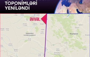
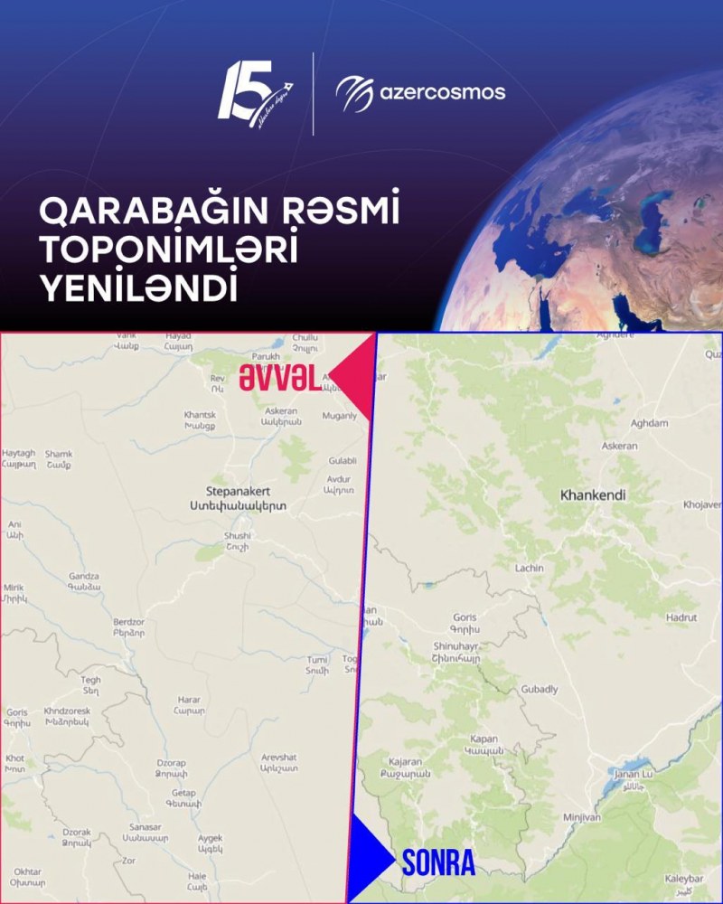
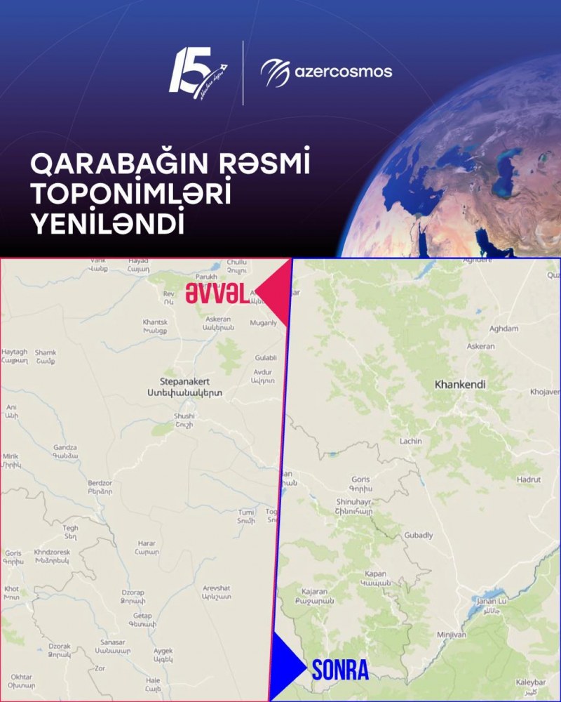
August 31, Fineko/abc.az. Following an initiative by Azercosmos, an AZCON Holding company, international satellite data and analytics provider EOS Data Analytics has updated its base map covering the Karabakh region.
As part of the update, settlement names previously displayed in Armenian were replaced with the official Azerbaijani toponyms. Azercosmos provided the analytics firm with verified spatial datasets from Azerbaijan's official Open Data Portal (Opendata.az).
Following an 11-month collaboration, official names for settlements including Khankendi, Khojavend, Aghdara, Sugovushan, and others across the region have been correctly reflected on the digital map, ensuring accurate spatial data for global users.



9 October 2026
9 October 2026
9 October 2026
7 October 2026
8 October 2026
8 October 2026
8 October 2026